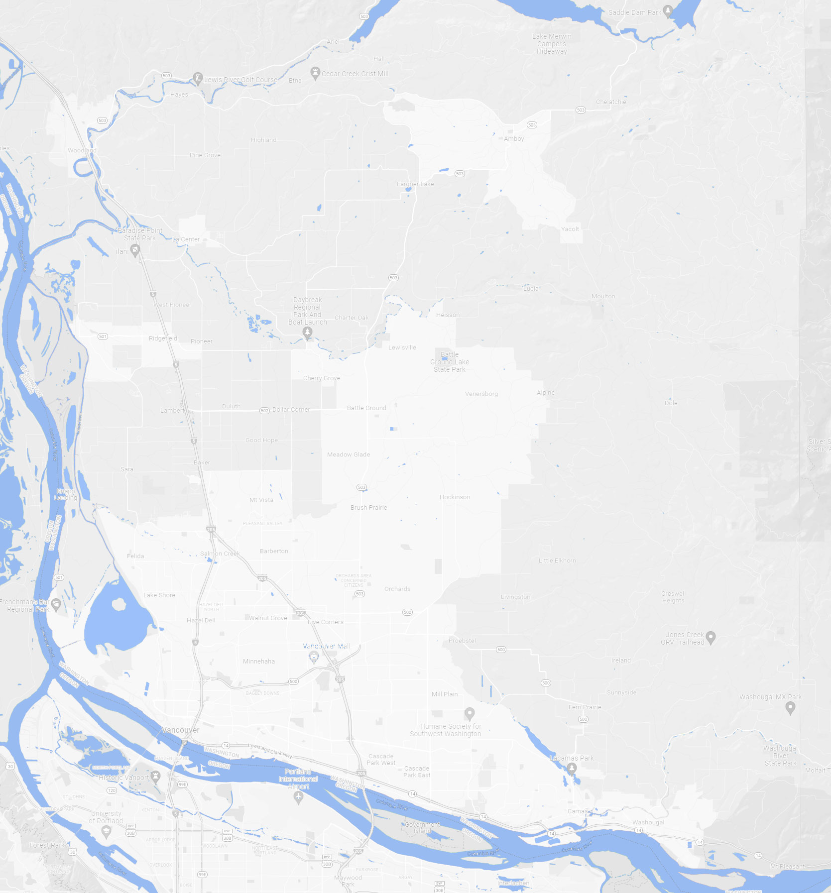
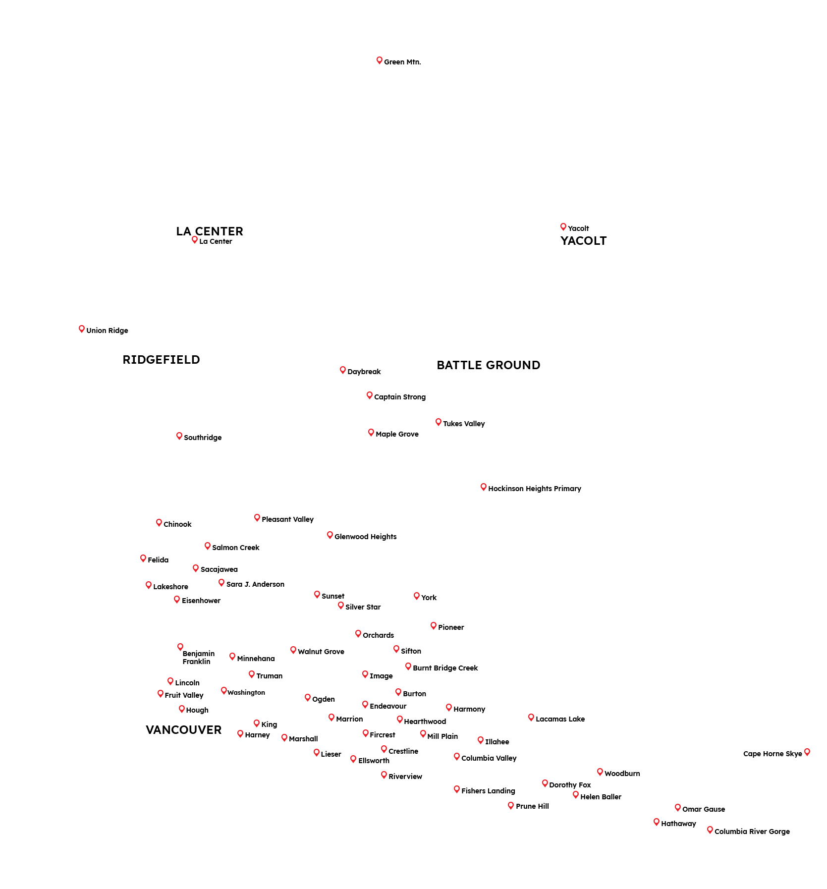
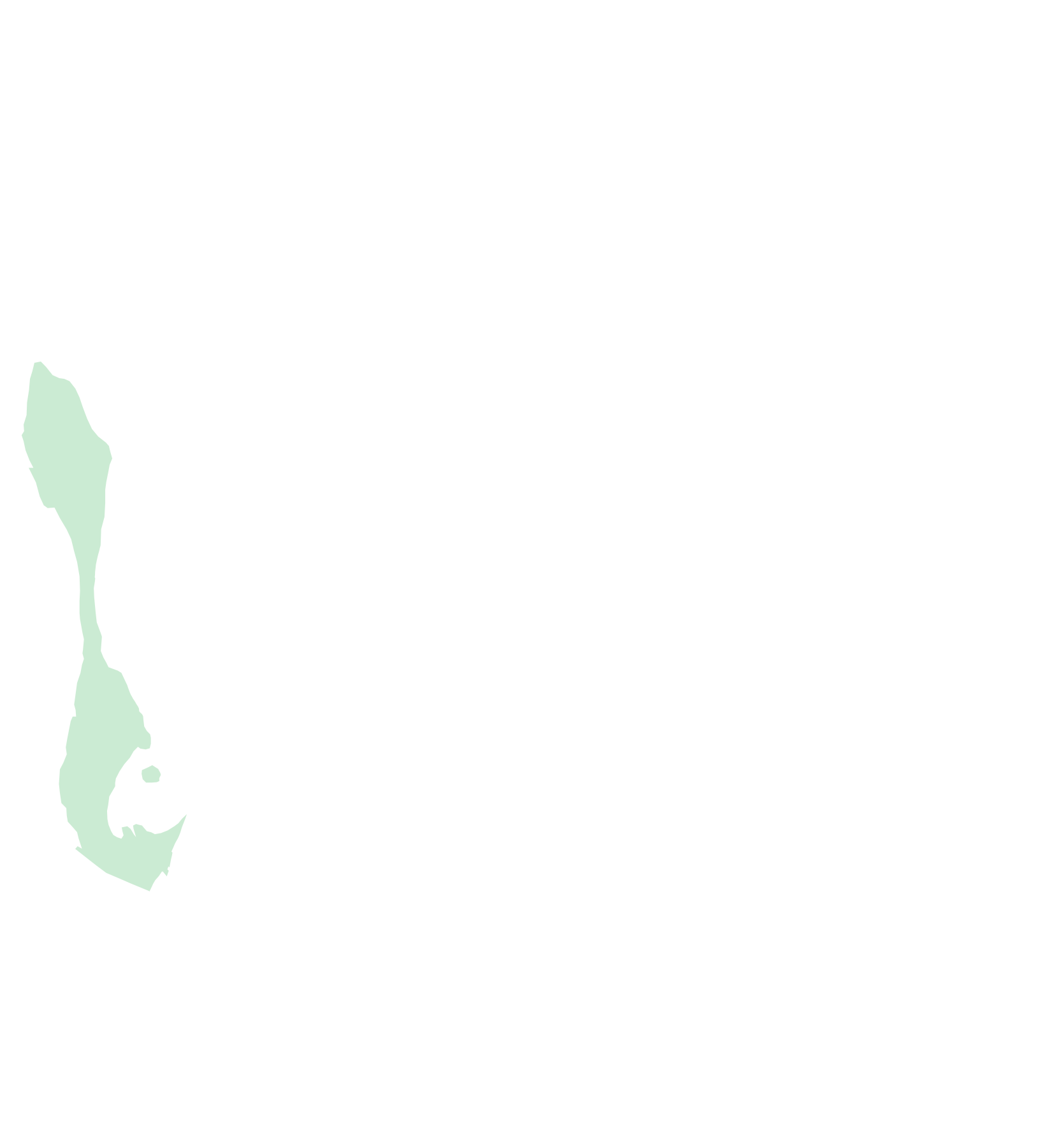
To see the Clark County watershed to which your school belongs, choose from the drop down menu or click the watershed names to highlight areas on the map.
- Lacamas Creek
- Salmon Creek
- Burnt Bridge Creek
- Columbia Slope
- East Fork Lewis River
- Little Washougal River
- Lakeshore
- Gee Creek
- Cedar Creek
- Washougal River
- Whipple Creek
- Vancouver Lake
- Flume Creek
- Gibbons Creek
- Allen Canyon Creek


Lacamas Creek Watershed
- Drains 67 miles
- Creek flows 12.5 miles into Lacamas and Round Lakes
- Drains to Washougal River
Salmon Creek Watershed
- Drains 89 square miles
- Flows westward for 26 miles from Elkhorn Mountain
- Empties into Lake River
Burnt Bridge Creek Watershed
- Covers 28 square miles
- Starts in ditches that drain a wetland area between NE 112th Avenue and NE 164th Avenue
- Creek flows west for 13 miles through Vancouver into Vancouver Lake
Columbia Slope Watershed
- Covers 25 square miles
- Follows Mill Plain Boulevard from Vancouver to Camas
- Drains to Columbia River
East Fork Lewis River Watershed
- Drains 212 square miles in Clark and Skamania counties
- Originates in Gifford Pinchot National Forest
- East Fork Lewis River flows 43 miles west before draining to Columbia River
Little Washougal River Watershed
- Drains 24.5 square miles
- Flows from the Cascade Range into the Washougal River
- About 91% of this watershed is forested and undeveloped
Lakeshore Watershed
- Drains 3.6 square miles
- Contains small streams and springs and drains into Vancouver Lake
- The watershed is mainly covered by hard surfaces due to development
Gee Creek Watershed
- Small tributary to Columbia River
- Originates in hills near I-5, runs through Ridgefield, and empties into the Columbia River flood plain
- Has a drainage basin of 8.7 square miles
Cedar Creek Watershed
- Broken into three watersheds: Middle, Lower, and East Fork
- About 88% of the watersheds are covered in forest with few developed areas
- All three watersheds drain into the Lewis River
Washougal River Watershed
- Drains 50 square miles in Clark County (and 162 in Skamania)
- Washougal River starts in Gifford Pinchot National Forest
- Empties into Columbia River in Camas
Whipple Creek Watershed
- Drains the hills east of I-5 to Lake River
- Drains 12 square miles
- Part of West Slope Watershed
Vancouver Lake and Lake River Watershed
- Drains 31 square miles
- Located in western Clark County in Columbia River flood plain
- Water flows from Vancouver Lake into Lake River and then the Columbia River (although the Columbia’s tidal effect can reverse the flow)
Flume Creek Watershed
- Flows westward into Lake River
- Watershed is rapidly changing due to high development in the area
- Watershed is small and classified as a subwatershed
Gibbons Creek Watershed
- Drains 13 miles in SE Clark County
- Drains to Columbia River
- Made up of small lakes and ponds
Allen Canyon Creek Watershed
- Drains 6.1 square miles
- Subwatershed includes Lake Rosannah (formerly Mud Lake)
- Drains into the Lewis River